

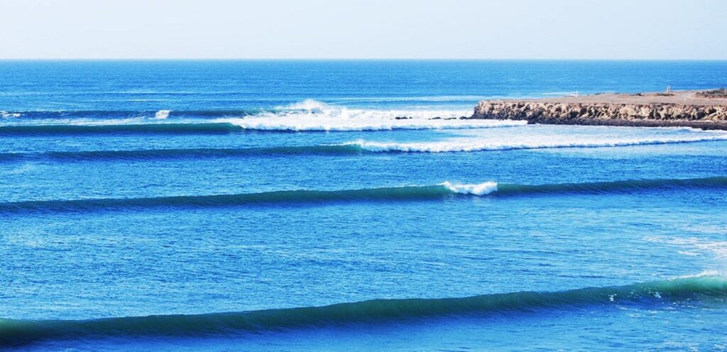
The South Pacific’s been gearing up over the past few weeks with some increasing swells heading in to Mainland Mexico and Baja
Another dose of early-season SSW swell will peak this weekend, offering widespread, fun-size surf with top spots pushing solidly overhead. The surf will ease next week, but that downtrend will be brief.
The basin looks primed for more meaningful swell production to close out the month, followed by an extended run of Southern Hemisphere swell for the Americas. Forecast models suggest a large trough of low pressure will set up over the central to eastern South Pacific through the weekend.
Several swell-making storms cycle over the next few days, enhanced by high pressure to the west. The high pressure briefly takes over before a new storm system plows through the central and eastern basin, effectively replacing the high.

This next system looks a little more potent than the first and should be counted on for fun-sized surf through the first week of April.
Some of the long-range weather and climate models are pretty bullish on a similar storm pattern sticking around through April, which should send more swells to the Americas. That aligns with climatology, too. South Pacific surf typically increases through the month as a rejuvenated storm track takes advantage of the Antarctic Sea Ice’s yearly minimum; less ice means more ocean surface for swell production.
North Pacific Overview
Confidence is building that we’re in for a strong run of W/WNW swell early next week. The reputable global models have been in much better agreement the past day or so with the potent lower latitude storm on a track towards the West Coast. Models are finally showing better parity with respect to how the storm will behave as it pushes towards Southern California, and fortunately for us, the Euro has come more line with the GFS — especially with respect to track, it continues to be a bit weaker in intensity but is overall better than the past few days.

While that will likely make it tough to find a clean window of surf, it bolsters confidence that we’ll see a solid W/WNW swell build rapidly Monday with a peak in size late and into early Tuesday morning before size eases. Stay posted, this is going to be a pretty dynamic situation with the storm developing so close to the coast and then tracking into California. It’s also worth noting that water quality will probably be taking a bit hit with some areas projected to see significant rainfall.
It’s looking like we’ll see more out of the North Pacific next week with another storm due to set up below the Aleutian Islands and into the Gulf of Alaska by Monday, setting up a round of NW swell for the end of the workweek. Don’t expect this one to be anywhere near as big as the pulse described above, but could be good for some modest to locally fun offerings by Friday. We’ll be keeping eyes on the North Pacific, and the Gulf of Alaska in particular, heading through the first week of April as models are keen on more systems moving into that zone.
Source: Surfline


Responses